The Velare Street Residential Street Lighting project consisted of an Aerial fly over topography used for the civil base map. The civil base map included all underground facilities and their position relative to pertinent right of way lines, flow lines and centerlines.
a) Establish project horizontal/vertical control monuments and aerial targets
b) Fly & photograph project limits.
c) Compile project area as shown on the RFP exhibit in ACAD DWG file format.
d) Field check mapping for conformance to national mapping standards.
e) Field check to confirm that all surface utility information is correct.
f) Research and plot all underground utility data from record drawings.
g) Field check all utility data to resolve any discrepancies in recorded locations of facilities.
h) Centerlines and right-of-way lines will be plotted from record information.
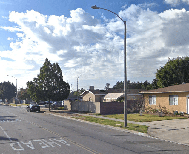
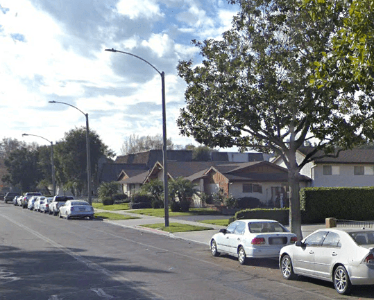
The street lighting was field verified and laid out per City of Anaheim standards. A lighting analysis was conducted to ensure foot candle readings met minimum city standards and a detail sheet was prepared to meet city requirements. The project limits began at Ball Road and Velare Street and extended to Velare Steet and Orange Avenue approximately 2800’ and included all cross streets. The project also consisted of removing existing overhead circuits and proposing underground conduit to be installed. The lighting consisted of 100 watt high pressure sodium complete with photo eye, lamp, fuse kit, and fuses for 120 volts at 15 amp and 3” steel risers on existing pole connecting to existing transformers.