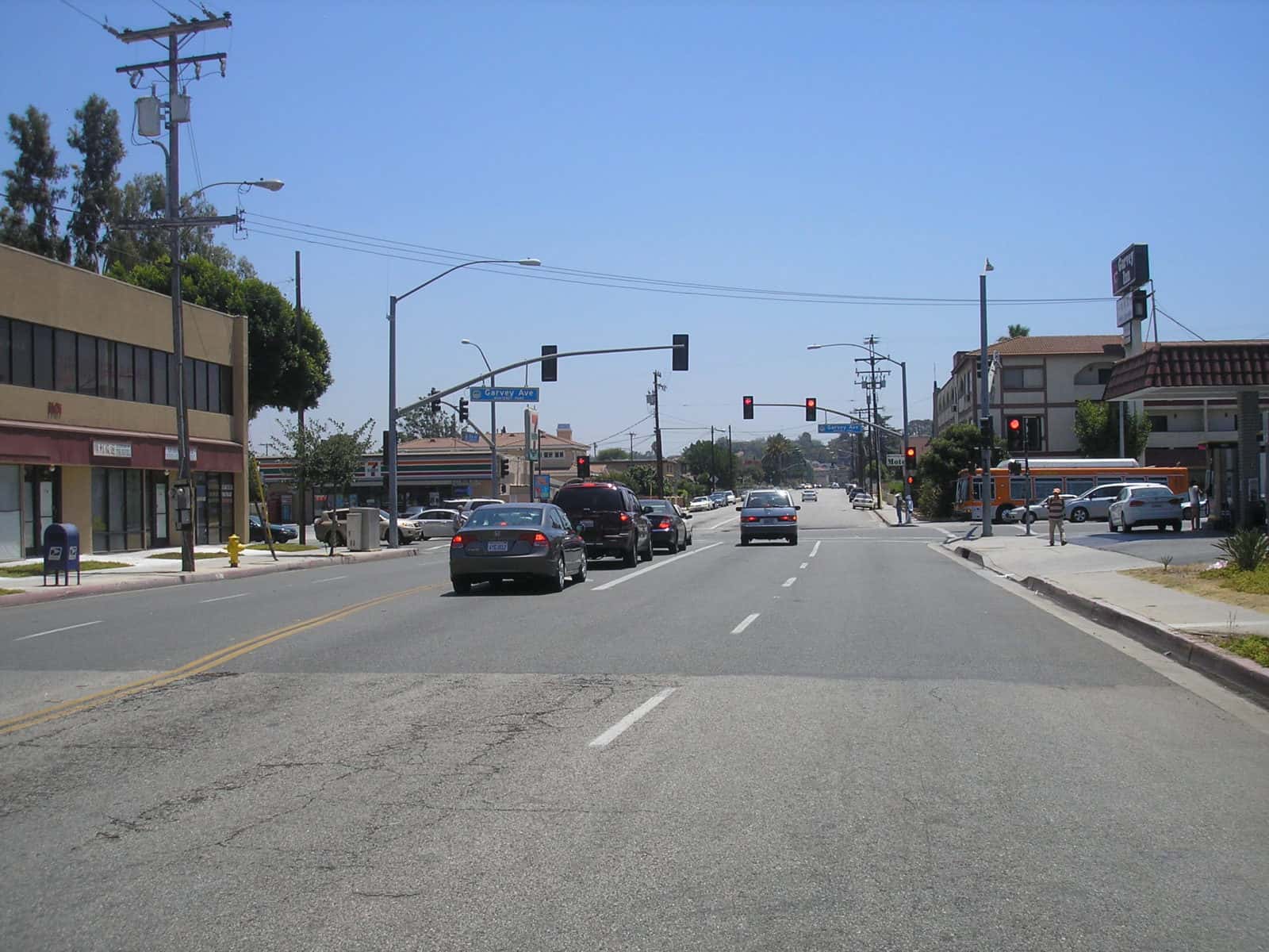
KOA developed a Specific Plan circulation element and environmental documentation traffic impact analysis for the proposed Rosemead Garvey Avenue Specific Plan Project. The Specific Plan was initiated to refine course land use designations identified by the General Plan for this corridor. KOA analyzed a study area that included major intersections within a focused corridor plan on Garvey Avenue between the western City limits and San Gabriel Boulevard, as well as traffic signals at interim locations along Garvey, and other selected intersections to the south on routes to and from the I-10 freeway. KOA coordinated with Caltrans to define the freeway ramp and mainline analysis, which was used to define potential impacts to the Caltrans facilities of trips generated in the Specific Plan area. The analysis conducted for Caltrans included mainline density/level of services analysis and ramp facility queuing and delay analysis. The analysis was conducted across multiple interchanges and mainline segments. The scope of work also included the analysis of alternatives; a review of existing and planned bicycle and transit facilities; development of improved bicycle, pedestrian, and transit linkages and development of focused Complete Streets concepts and roadway/intersection mitigation measures.
Garvey Avenue Specific Plan & EIR